Professional Survey Drones for Aerial Mapping, GIS & Land Surveying
Professional survey drones designed for aerial mapping and land surveying applications. Featuring high-precision positioning, multi-sensor compatibility and efficient data acquisition for accurate surveying projects.Whether for small site surveys or large-scale regional mapping projects, these professional surveying drones deliver reliable performance, high-quality data, and exceptional operational efficiency.
Compare
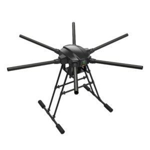
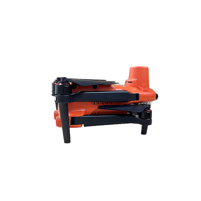
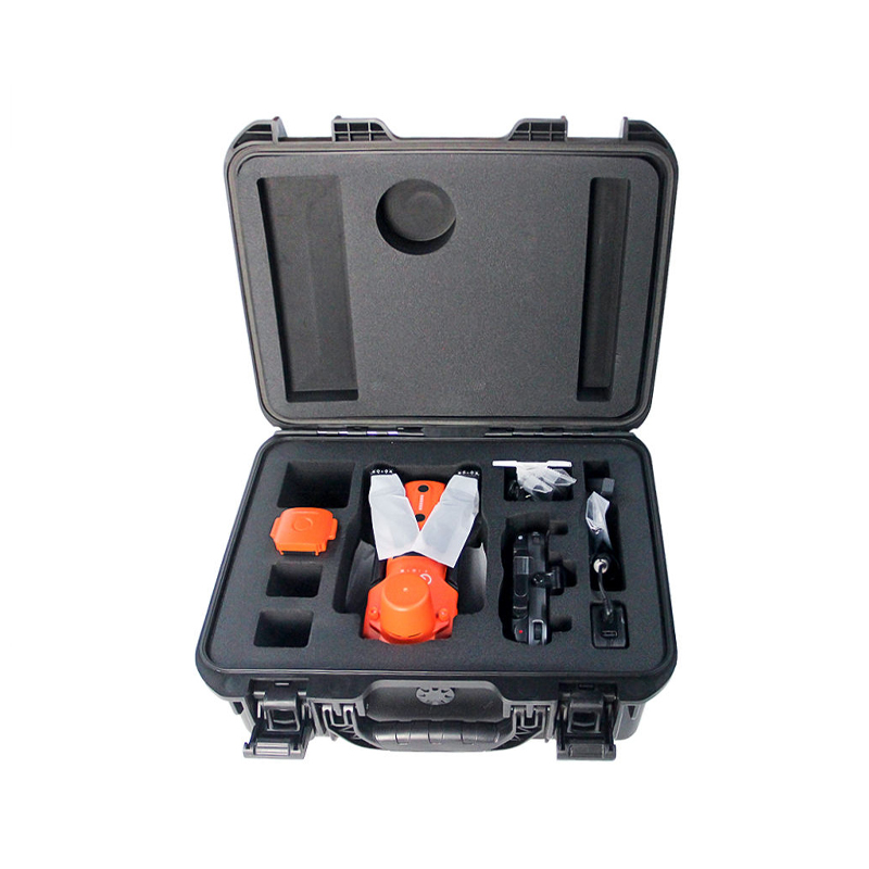
Professional Survey Drones Product Details
| Parameter | Value |
| IP Rating | IP55 |
| Operating temperature | -20°C to +50°C |
| Material | Nylon carbon fiber |
| Dimensions | 55 x 45 x 35 cm |
Product Features
High-precision aerial surveying: Equipped with an advanced positioning system for professional surveying tasks.
Efficient large-area coverage: Long flight endurance and optimized flight planning enable rapid data acquisition over large areas with complex terrain.
Automated flight and data acquisition: Intelligent mission planning software supports waypoint navigation, terrain following, and autonomous data acquisition.
Robust and durable industrial-grade design: Utilizes durable materials and a stable flight control system for reliable operation in harsh outdoor environments.
Professional surveying drones are designed to meet the demanding needs of modern geospatial professionals and are used for aerial mapping and land surveying. These drones enable the rapid, accurate, and cost-effective acquisition of aerial data, suitable for applications such as land surveying, topographic mapping, construction planning, and infrastructure inspection. By combining high-resolution imaging, precise positioning systems, and intelligent flight control, these surveying drones significantly reduce field work time while improving data accuracy. Whether for small site surveys or large-scale regional mapping projects, these professional surveying drones deliver reliable performance, high-quality data, and exceptional operational efficiency.
Contact us to get your quotation now.
Related products
-
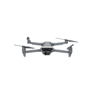
Mapping & Survey Drones
Mapping and Survey Industry Drone with 10km Image Transmission
This latest technology industrial drone features a lightweight flying platform designed for professional survey and mapping applications. With stable image transmission up to 10km, it ensures reliable long-range data capture and efficient aerial operations. The drone delivers high performance, mobility, and accuracy, making it an ideal solution for surveying, mapping, and industrial inspection tasks.
SKU: n/a -
Mapping & Survey Drones
18m/s Long Range Measurement Drone With Night Vision
This long-range measurement night-vision drone is a professional-grade operational device, specifically designed for long-distance mapping, nighttime monitoring, and similar scenarios. It combines three core advantages: high-definition imaging, ultra-long transmission, and stable flight. The body is made of high-strength plastic material, making it lightweight, durable, and highly wind-resistant, and it is equipped with a brushless motor and a three-axis gyroscope for stable and precise flight control.
SKU: n/a -
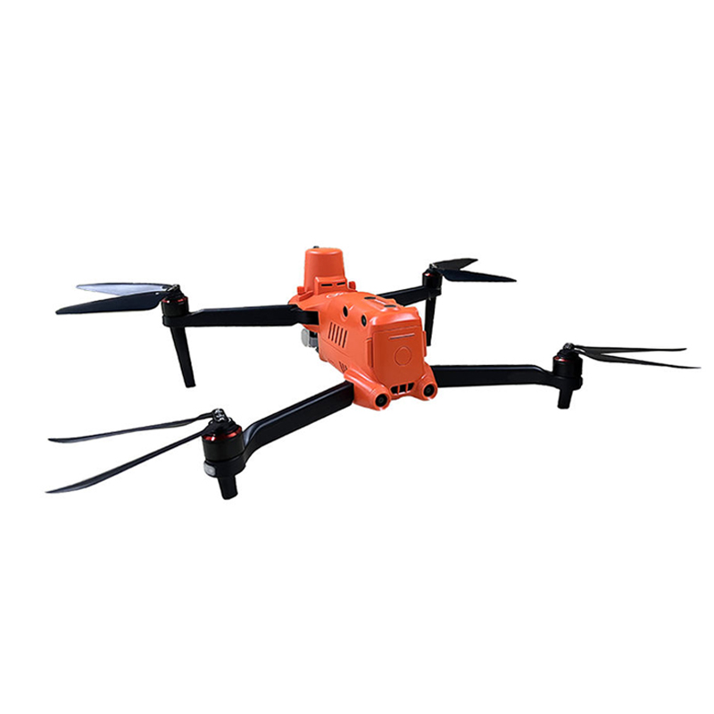
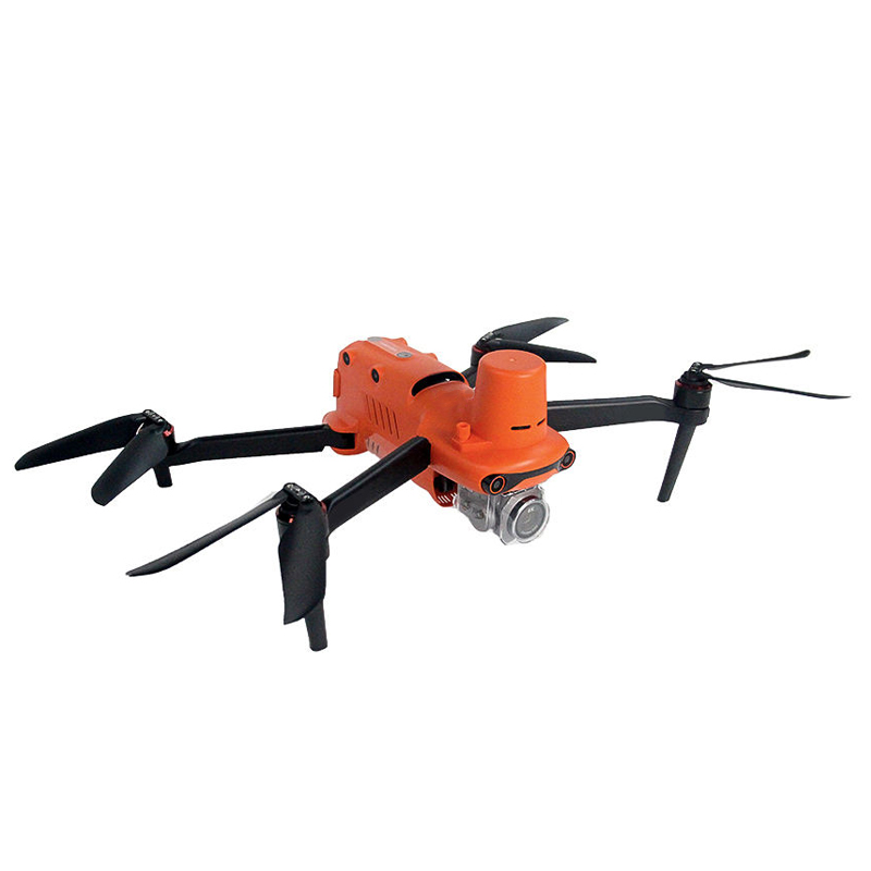
Mapping & Survey Drones
High-Precision Mapping And Survey Drones For Aerial Data Collection
These high-precision mapping and survey drones provide reliable aerial data collection using advanced positioning and multi-sensor payloads. They enable fast, accurate surveying for land mapping, infrastructure inspection, construction planning, and environmental monitoring, improving productivity and data accuracy across professional applications.
SKU: n/a -
Mapping & Survey Drones
Vertical Take-Off and Landing Drone For Surveying and Inspection
This drone features a dual-mode design of fixed-wing and vertical takeoff and landing, compatible with remote control operation, perfectly balancing the flexibility of vertical takeoff and landing with the efficiency of fixed-wing cruising. It is primarily suited for measurement and inspection tasks. The fuselage is equipped with carbon fiber composite propellers, which are high-strength and lightweight, and, combined with an optimized aerodynamic layout with a wingspan of 2438mm, provides excellent flight stability.
SKU: n/a